SURVEYS

About Surveying

Smart Surveying for
Better Accuracy

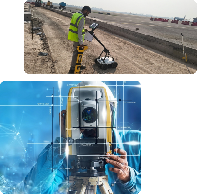
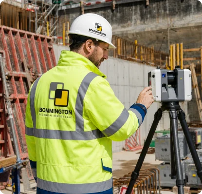
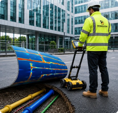
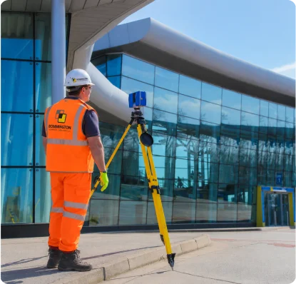
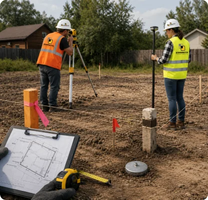
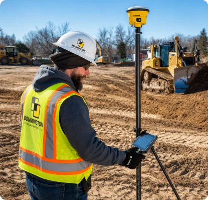
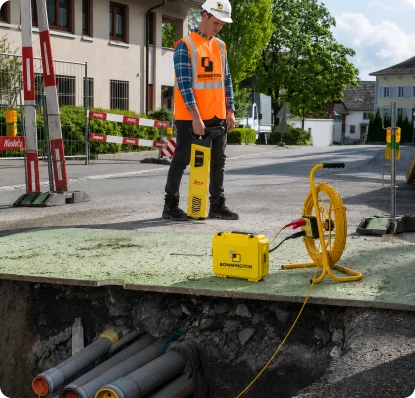
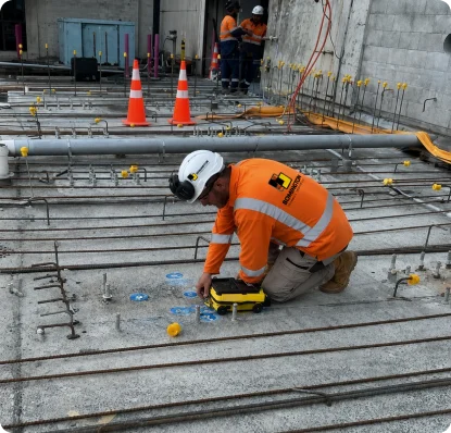
Our survey services are built on accuracy, advanced technology, and technical expertise. We provide reliable surveying and scanning solutions that help clients make informed decisions with confidence. From land surveys and site measurements to detailed data collection and mapping, our team ensures precise results that support smooth planning, engineering, and execution. 

By combining modern equipment with experienced professionals, we deliver dependable survey solutions tailored to the unique requirements of every project.

About service

Survey & Scanning Solutions

Accurate surveying and advanced scanning solutions delivering reliable data, precise measurements, and better planning for successful project execution.

Land Survey

Accurate land surveying services providing detailed measurements, boundary identification, topographic mapping, and essential site data to support planning, design, construction, and development projects with precision, reliability, and compliance using advanced surveying methods and experienced technical professionals.

Using advanced GPS and total station equipment, we deliver highly accurate positioning, measurements, and mapping solutions for construction, infrastructure, engineering, and land development projects, ensuring precise data collection, efficient site coordination, and dependable results throughout every project stage.

Our as-built survey services accurately document completed structures, layouts, dimensions, and installations, helping clients verify project accuracy, maintain updated records, support future modifications, and ensure compliance with design specifications through detailed measurements and precise technical documentation.

Ground Penetrating Radar surveys help detect subsurface features, buried utilities, voids, and structural elements without excavation, providing safe, non-destructive investigation solutions that improve planning, reduce risks, and support informed decision-making for construction, infrastructure, and engineering projects.

We accurately identify and map underground utilities including pipelines, cables, and drainage systems, helping prevent damages, improve safety, reduce project risks, and support efficient planning through advanced detection technologies and reliable surveying techniques tailored for construction and infrastructure projects.

Our 3D laser scanning services capture highly detailed and accurate spatial data, creating precise digital models for engineering, construction, renovation, and industrial projects while improving visualization, planning accuracy, coordination, and efficient project execution through advanced scanning technology.

Let’s Plan Your Next Project!

Bring your project to life with expert technical solutions,
precision planning, and reliable execution from start to finish.

Ready to Begin Your Project?

Please provide your details below to get started